- Annotation, mLearning, and Geocaching Part #1: Scenarios and Technical Requirements
- Annotation, mLearning, and Geocaching Part #2: The Use Case
- Annotation, mLearning, and Geocaching Part #3: Annotating Maps
- Annotation, mLearning, and Geocaching Part #4: Annotating Text and Beyond
Now that we have discussed the use case, annotations with text and mapping, and our desire to intersect all of these (meaningfully), we turn to the actual learning activities themselves. To do so, we are using geocaching as a vehicle for getting us there as it combines so many of the activities we are looking to enact. Essentially, we are viewing geocaching as one large reusable field-based annotation activity. And it is within the activity of geocaching that we begin to see these project requirements intersect with our use case involving the teaching of Korean literature.
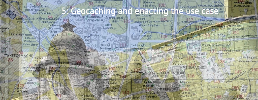
It is within Steps 3 and 4 (below) that we begin to see the requirements being foregrounded as a project requirement, that of the geopositioning of annotated media and text. As such, it is important to define what we mean by geocaching. Geocaching is a locative treasure hunt game (at least how we are defining it) involving the use of caches containing media, text, or other physical or digital material that are geographically positioned and left to be found by geocachers. Once found, the geocacher can sign a logbook as evidence of their finding, and upload a cache’s information including the coordinates, hints, and container types (shape, size) through their mobile application.
Geocaches, in this use case, are the compositions that the students create responding to the literature: geopositioned media, commentary, audio responses, or whatever is deemed appropriate. Imagine walking to 7 Eccles Street in Dublin, recording an audio critical response to Leopold Bloom directly (seems more fun in the first person), and leaving that for later students.
Geocachers often choose to conceal their true purpose so as not to reveal the location of the geocache, or themselves as geocachers, adding elements of secrecy to the proceedings. That and the social stigma of being the person rummaging through the park looking for hidden caches. Geocaching has waxed and waned a bit in popularity since its advent around 2000, particularly as GPS technology has become ubiquitous, peaking in the 2000s; there are currently over 1.4 million caches worldwide with 4 million geocachers according to geocaching.com.
However, it is in its applicability to education, and subsequently annotating, that we are most concerned with in this paper. The use of geocaches (or geolocated media) for learning has been convincingly presented in Farman (2013, 2009), explored as a psychological and social act in Chavez et al. (2004) and O’Hara (2008), expressed as a playful act in Hooper & Rettberg (2011), and positioned as a persuasive act in Gram-Hansen (2009). All of these positions dovetail, and indeed are engineered to dovetail, into the learning activities described in this paper: geocaching becomes an act of playfulness, of social and psychological motivation, and even of persuasion.
Yet the additional context of time is embedded and revisited throughout this process. The students are playfully engaging and layering contexts of time: the historical context of the novel and the modern day; the time between when the geocaches are embedded and when they are found and re-assembled. This element of time is configured by what Ihanainen & Moravec (2011) have termed overlapping time: configurations of overlapping periods of time thrust together in iterative contexts and perpetually enacted via social technologies. Students create, embed, visit, revisit, and recycle their learning: multiple, overlapping engagements across time. It is hard to imagine this level of complexity across both time and space being made useful (or anything other than disorienting) without mobile technology.
From a technological perspective, it is imperative that the activity be linked to the individual, the group, the class, the discipline, the university through unique identifiers. Permissions and roles would need to be developed to acknowledge the teacher dashboard and student dashboard. Socialized elements would need to be included to allow for collaborative activity and discussion around the interpretations of the novel. All data would need to be exportable for use by the student in larger learning portfolios for formative assessments.
It should be noted that the use case can be broadened to include any learning activity that ascribes to the basic activities (adapted from Gallagher, 2015) outlined in the following table. Geocaching, however, remains an accessible (but not exclusive) piece of this sequence of learning activities. There are other ways to perform these activities certainly; geocaching just provides us an accessible way to bring them all together under one roof, so to speak.
- Reading and discussion of source text. Initial research and mapping. Chapters or scenes assigned: To familiarize students with the source text, with the historical themes, sociocultural significance, etc. To begin to map historical locations to modern ones. To research historical representations of these locations.
- Field Activity – Data Collection, Mapping, Preliminary Compositions, Reflexive Practice: data collection, mapping of that data, reflection on the quality and applicability of the data collected
- Geocaches and Embedding Time Capsules; Finding Aids: finalizing the compositions as geocaches, or locative treasure hunts involving the use of caches containing media and text mapped and left to be found in the locations in Seoul from which they emerged.
- Geocache Discovery and Assemblage: teams find the other geocaches, collect the compositions contained therein, and reassemble the novel through these compositions.
- Reflective Practice – Iterations and Analysis: reflective practice is embedded at various stages of this activity, but a summative reflection is inserted to consider the aggregation, or ensemble, of collected compositions as a proxy for the source text.
So there you have it. Use case, annotations, and learning activities all accounted for.
Annotation, #mLearning, and Geocaching #5: Enacting the Use Case in #Seoul. https://t.co/LWsMdXikf7 @rexsavior https://t.co/uovY5tX7P2
[…] Annotation, mLearning, and Geocaching Part #5: Geocaching and Enacting the Use Case […]