Part I: Serendipity and Strange Symbols
This post is about some recent activity that led to some serendipitous learning on the streets of London, learning that was enhanced (perhaps even made possible) by mobile technology. I debated whether or not to add some variation of this to my book on mobile learning (my wife had suggested it), but decided to share it here instead.
I had friends visiting London a month or so ago and we wandered around from here to there looking at churches and bridges and castles (Tower of London qualifies as a castle, right?). We made our way to Edinburgh and did much the same thing. All in all, a pleasant way to take in as much history as possible in a short period of time.
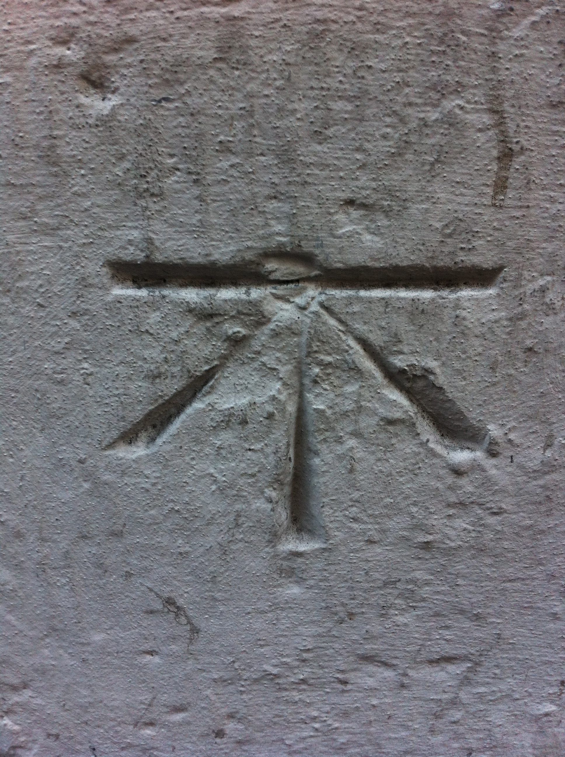
On one particular walk around Guildhall in London, we spotted St Alban Church Tower on Wood Street and wandered over. St. Alban is a solitary church tower sitting in the middle of the road, seemingly misplaced. It was rebuilt by Christopher Wren after the Great Fire of 1666 and destroyed again during the Blitz leaving this solitary tower. We took a quick look, my friends popped inside and I looked at the architecture. On the back side of the tower, we saw the first symbol as seen below:
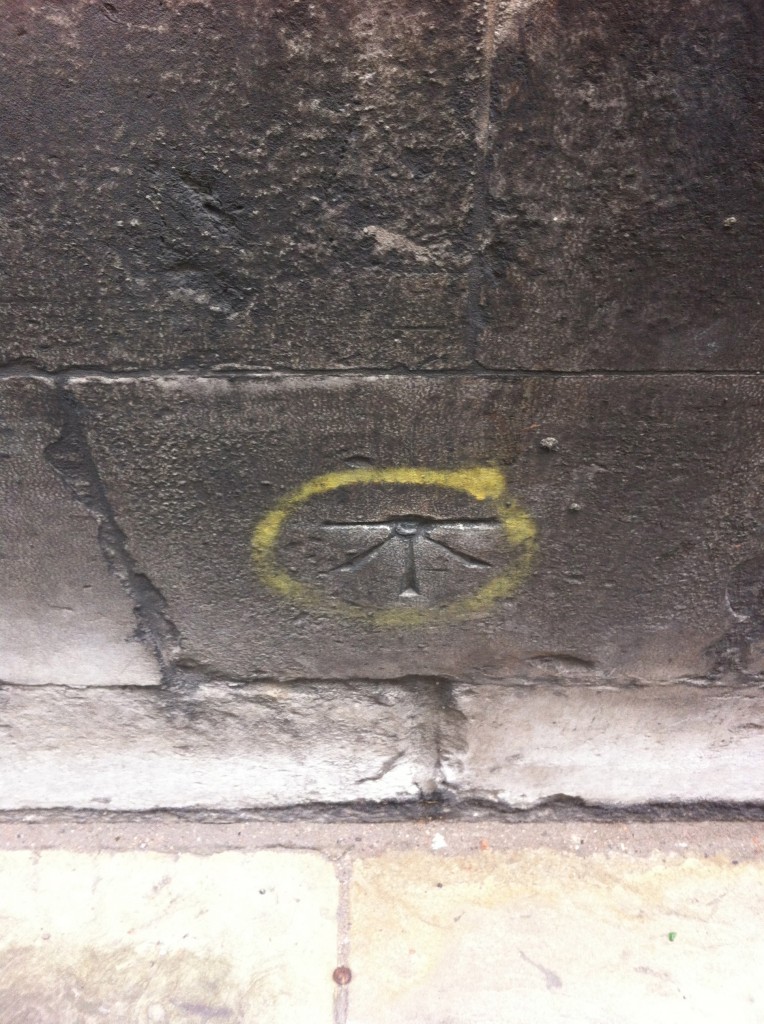
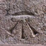
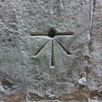
I took the picture with my phone, forget about it for a few weeks and returned to it relatively recently. M wife and I were walking through the deserted City of London on a Sunday and wandered over to St Mary Le Bow and saw the second symbol. Later, I was walking along the Thames and wanted to look inside the churchyard of St. Magnus the Martyr. I then saw the third symbol (as well as an original piece of the original Roman London Bridge) and my search for its meaning began in earnest. While looking online for the significance of the symbol, my wife and I continued to investigate on foot through the churches of the City of London. All told, we methodically visited these churches:
- All Hallows by the Tower
- St Botolph Without Aldgate
- St Katherine Cree
- St Michael Cornhill
- St Dunstan in the East
- St Mary Axe
- St Helens Bishopgate
- St Margaret Pattens
- St Olave’s
- St Mary Le Bow
- St Magnus the Martyr
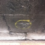
We found the same symbol on all but the foundations of St Helens Bishopgate, All Hallows by the Tower, and St Botolph Without Aldgate. The photographed symbols are below:
I would love to include the history I have researched on each and every one of these churches, but that really isn’t the point of this post. Needless to say, the history is impressive. I beg you to go search through Wikipedia for more information on each and every one of those churches. More importantly for our purposes was how my wife and I went about making sense of these symbols.
Part II: Search for Meaning
I shared these with my friend and we discussed our initial guesses on what they might have been. We were leaning towards something masonic. I thought perhaps a signature of Wren’s builders, but not all the churches were Wren churches. My wife astutely pointed out that they all had holes in them (except for one) that made us think that something was inserted there. I even harbored the delusion that perhaps they were Puritans or other sects signalling sanctuary to one another during times of religious intolerance.
We found ourselves wandering through the British Museum the other day ostensibly looking for a Roman sarcophagus found on Minories near Aldgate in London (my street) and we stumbled across Roman artifacts from the later period of Roman rule in Britain (they left altogether in 410 AD). On a few of those artifacts we saw the Chi Rho, an early Christian symbol that was used before the cross we now associate with Christianity today.

I saw some similarity to the symbols we were finding on these churches and began to research the Chi Rho and its use in Britain after the Romans had left. I was finding some evidence here and there, but nothing definitive. My friend astutely pointed out that these were not the same symbols at all, which led me back to further research.
I posted the call to Twitter and G+, asking if anyone knew what these symbols were. I received a response via Flickr that mentioned that they had stumbled across my photos of these symbols via an impressively dystopian visualization called Watchdogs’ We Are Data. But still I was left without an idea as to what the symbols were.
I then became convinced they were an architectural symbol of some sort and consulted my architect sister who said they weren’t familiar. I then uploaded one of the images to Google and searched with a few keywords here and there (church, symbol, marking, foundation, stone, etc.) and followed a few sites here and there and ended up with benchmarking. Staring me right in the face from Wikipedia was the following:
The term bench mark, or benchmark, originates from the chiseled horizontal marks that surveyors made in stone structures, into which an angle-iron could be placed to form a “bench” for a leveling rod, thus ensuring that a leveling rod could be accurately repositioned in the same place in the future. These marks were usually indicated with a chiseled arrow below the horizontal line.
So the symbols were apparently used by surveyors as part of the Ordinance Survey beginning in the late 18th century. I am reading through this source to learn more:
- Oliver, Richard, Ordnance Survey Maps: a concise guide for historians (London 2005), pp.35, 54
So I will research more and learn more and try to determine the exact date and origin of each of these symbols (as they seem, based on their wear and tear, to be from wildly different times). I will get out on foot again and see all that I can see on each of these buildings before I leave London in a few weeks. I will document all the media I can and connect it later, incessantly looking for patterns and meaning.
My friend also mentioned that benchmarking has an equivalent for mobile technology (and mobile learning). This sort of benchmarking is
a hobby activity in which participants find benchmarks (also known as survey markers or geodetic control points). Technically, the term “bench mark” is only used to refer to survey markers that designate a certain elevation, but hobbyists often use the term benchmarks to include triangulation stations or reference marks.[1] They typically then log their finds online. Like geocaching, the activity has become popular since about 1995, propelled by the availability of on-line data on the location of survey marks (with directions for finding them) and by the rise of hobbyist-oriented websites.
So we have mobile practice supporting historical practice, both sharing the same name. How incredibly convenient. It was also a good example of how any mobile technology can help with this process simply by providing a recorded memory. Merely by recording something are we
- acknowledging that it has significance (potentially)
- beginning the process of finding it a pair or grouping (pattern recognition)
- researching its connection to context (London)
- enacting a disciplinary practice (history field research)
Not bad for a few strolls through town and a camera phone. Not a bad learning activity for you teachers out there as well.
